
Sunday, June 7: Enjoyed a wonderful evening last night in Tipton. Made it back to yesterday’s finish, which was about 5-6 miles south of Tipton. Continued on the berm of Rt 213 north towards Kokomo. And I think the cycling Gods were with me because the berm was ideal for gravel riding, about 1-2 feet wide, nice and flat and very hardpacked; and I had this monster tailwind that was just blowing like hell. Once I got warmed up I was smoking it at anywhere from 12-15 mph. In the first hour my average was 13.2 - PR for the trip by gosh! But by the time we had to do a left turn on Rt 26 west, the wind had changed a bit and suddenly I was battling a southwesterly that shut me down to 8 mph. Again good berm but that wind that was my friend only minutes earlier, soon became an angry adversary just working me.
The humidity today was just stifling. Sweat was dripping down my sunglasses lenses and running into my eyes, not to mention that my Underarmor shirtsleeve shirt was just ringing wet with sweat. Now the stretch west on 26 was a tough enough, but then there had been some road work done here since I did this area’s recon 2 years ago, and that just totally rendered my Indiana Gazetteer obsolete. Had me me scratching my head as to how my old directions and cue sheet meshed with the current situation. Took me about 30 min to figure out that there was no longer a Rt 31, that had been replaced with a new freeway called I-31. This threw us for a loop because I needed to follow this old RR line that was located just before the 31 junction, but then there is this new I-31 - which I thought was the OLD 31!
Finally figured out that old 31 was now called Rt 931 and it was just west of new 31. What’s more the RR line I was looking for, well that was still there, but it was west of the new freeway. Hell, do I have you confused? It sure confused me for a short time. When I finally figured it out I saw that the old RR was even worse now than it was 2 years ago. It was an absolute jungle, and I’d have to negotiate a host of berms to parallel it to an established trail. So we decided to just navigate Judy to this trailhead in downtown Kokomo, and then I’d ride backwards to connect to a point where we stopped south of the city while trying to figure out the old RR line.
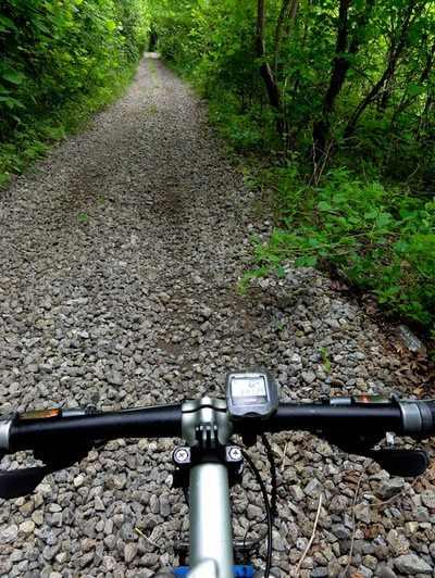
So we got Judy to the trailhead of this trail called the Industrial Heritage Trail, the same abandoned RR line I was looking at on the south side of the city. This I was hoping had been extended south, to meet up at old Rt 31, but it was not, thus….it was jungle for a good 2 past the Industrial Heritage Trail’s southern end point. Now the weather out here is pretty crazy today, with it being hot and humid for the better part of the day, and then this cold front is supposedly moving in with some pretty severe weather predicted for late in the day. Well, by the time I got going again from downtown Kokomo it looked like that front could be arriving early. The clouds were rolling in and the weather definitely felt like it was a changing. The Industrial Heritage Trail is short, like about 4 miles long north to south. And it’s totally paved…BUT there is the great berm along the old RR, which is still intact - ties and rails. So I just road right next to the RR line on its ballast with the paved trail on my left side. Did the whole thing at about 8 mph. Then the fun started when the trail ended and you’re left with this shroud of vegetation inside and overtop of the still-there RR tracks.
I managed to ride on this single track inside the rails for a short stint, Xing a creek and then Xing Rt 931 (old Rt 31) but it was just a mess once across 931, with a massive bushwhack looking me in the face. And that’s where I kind of had ad-lib by going on berm and then along this farmer’s field where I rode just to the left of the field. This was all little cookie material where I was just spinning my brains out at like 4-5 mph through rough untilled farm field. But by gosh it got me to where Judy and I had left off. So deed done, as I connected this to downtown Kokomo and the start/finish of the Industrial Heritage Trail.
I rode road and trail all the way back to downtown Kokomo, and that’s when the rain started. Now I was planning on getting back to Judy, and then taking the old RR grade north out of town to Cassville where the old RR again turns into another rail trail, the Nickel Plate Trail, and this goes for 40 miles to the northwest to the city of Rochester, IN. But by the time I got back to downtown Kokomo, the rain was light but steady. So we just decided to bag the day and stay at a motel there in Kokomo rather than tempt fate and get caught up in some thunder boomers. Ended up getting in like 27-30 miles of progress today, not what I’d wanted - was hoping to make Peru, IN today. But the weather is just to iffy. There are severe storm warnings out right now, so I feel ok going with the safe choice. I can still make up that 20 miles in the next couple of days. I do know this, that we can make it through Indiana in at the most, 3 more days - famous last words! Compared to our ordeals in Ohio (8 days to get across), this has been smooth sailing thus far. Just by doing the great berm today and yesterday rather than canoeing the White River, we picked up 2 days. That’s major!
Sorry that’s there’s not much drama today, and definitely not much in the way of thrashing and bushwhacking. I see that my notes tell of the Nickel Plate Trail as having some great berm….but this was done on recon 2 years ago, so I’m hoping that nothing has changed for the worse. Stay tuned….